Start with a manageable outing and a clear way back. Read the route demands before committing; a shorter distance is not always easier. Allow enough daylight for the complete return journey.
Route and offline map
Water and a refill plan
Food for the day and a reserve
Weather layers and sun protection
First aid and personal medicines
Headlamp and emergency plan
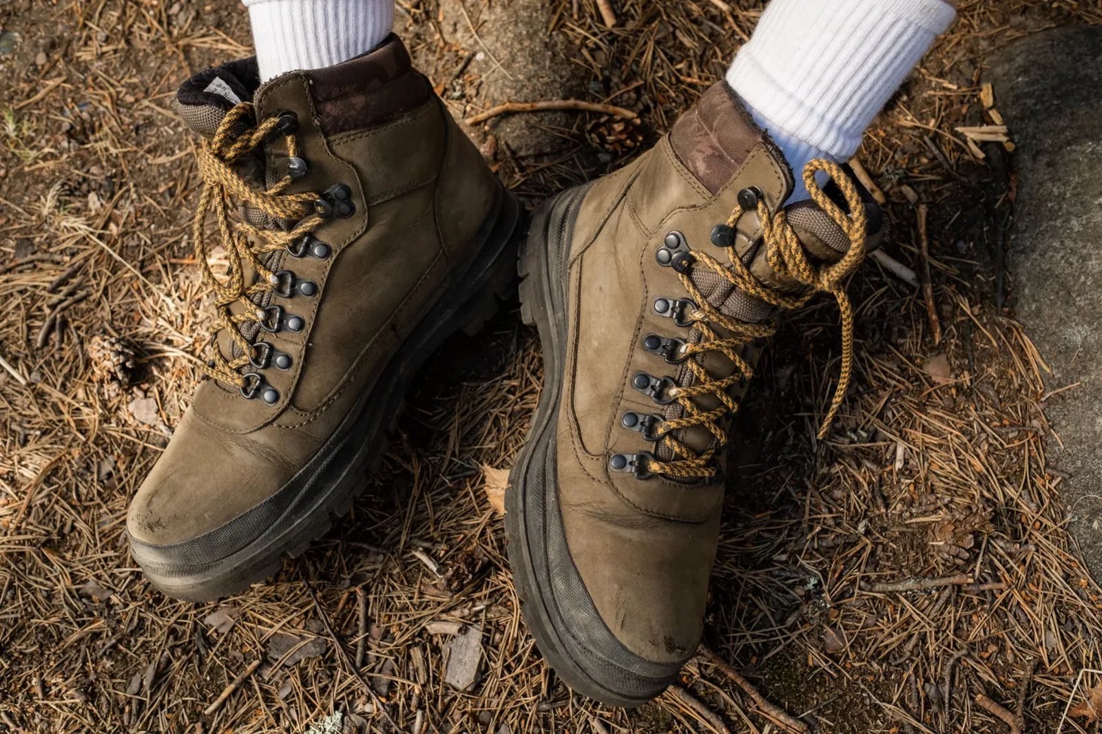
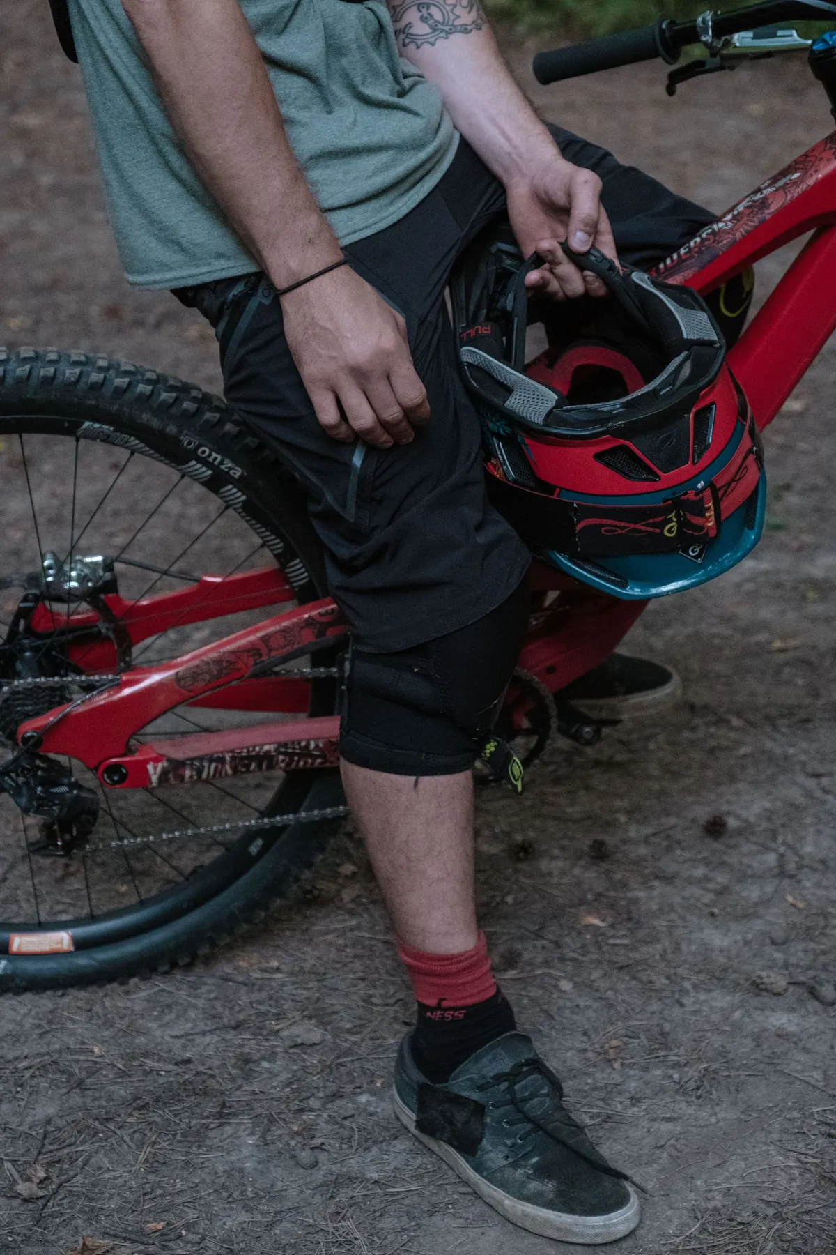
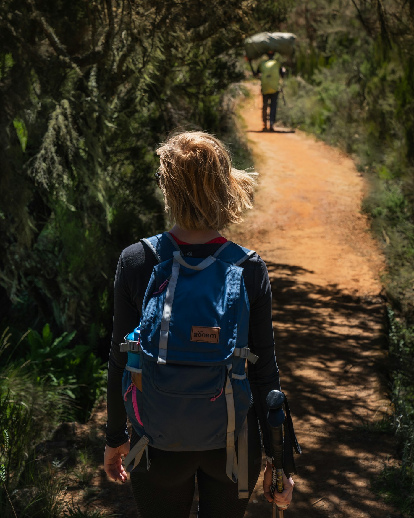
Ron Lach / Pexels · Illustrative walking equipment
Explore the range / Day hiking
A lighter load. A better day out.
Start with a comfortable pack, accessible water and layers that suit the forecast.
Useful gear for this trip
Check each product page for current options and availability. The physical store is opening soon; contact us before travelling.
Choose your next outing
Localplans.Practicalanswers.
Start with the trip, then the kit. Find access advice, questions worth asking and official maps for your day out or first night away.
Maps & advice / Dwellingup
Dwellingupmaps:walk,rideorcamp.
Official sources for the route. Practical help for what goes in your pack.
01 / Official resources
Bibbulmun Track
Plan a walk around Dwellingup with the Foundation’s current section information, access advice and maps.
Map 2 — Dwellingup covers North Bannister to Harvey–Quindanning Road. Choose the map for your full route and check the current track conditions before leaving.
Paper maps and the Trail App are paid options. Follow the official navigation page for GPS files and setup instructions. Download what you need before travelling. GPX and KMZ files do not include temporary diversions; check the current alerts as well.
The DBCA page provides visitor brochures, trail maps and links to offline mapping options. Facilities vary between campgrounds. Check the specific site and current restrictions rather than assuming water, cooking facilities or a campfire will be available.